‘Temporal Ecologies and Infrastructure: Tracing the Transformed Landscape of Mary Soo Hoo Park’
The course aims to redefine architectural drawing as a critical tool for exploring evolving sites. Using the extraorthographic method co-developed by Kevin Bernard Moultrie Daye and Bz Zhang, it portrays sites as dynamic, layered entities, challenging the view of them as static spaces.
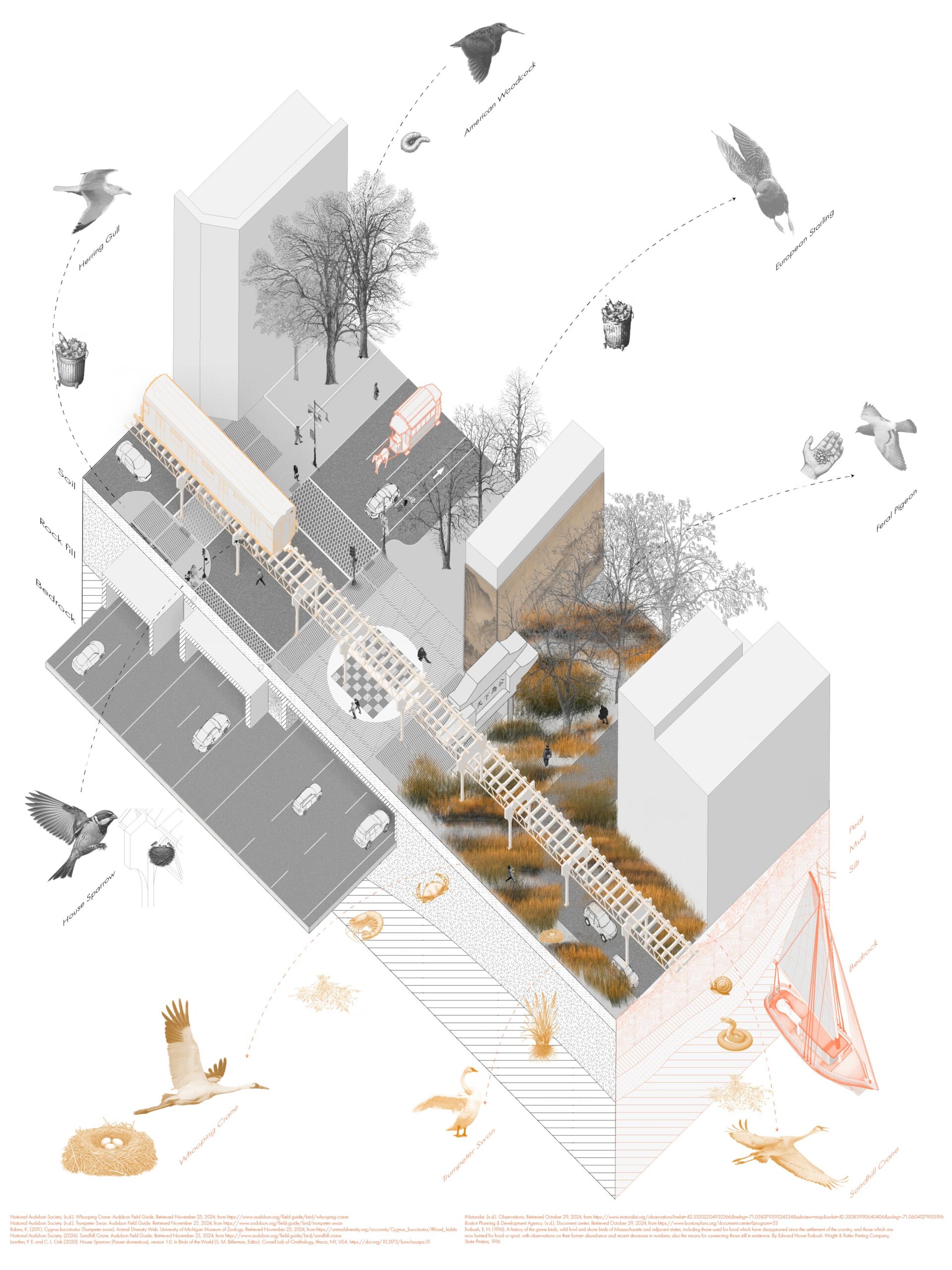
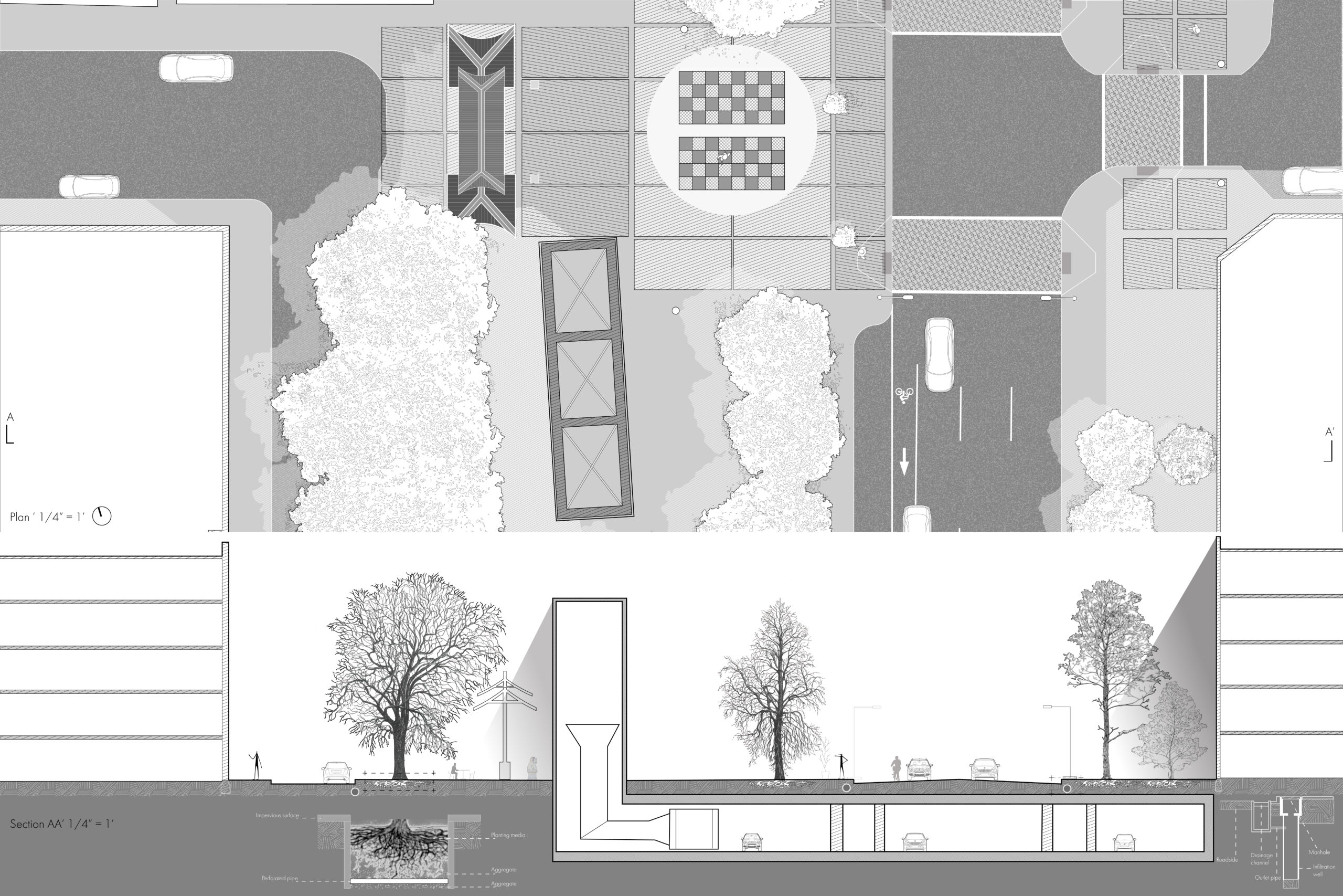
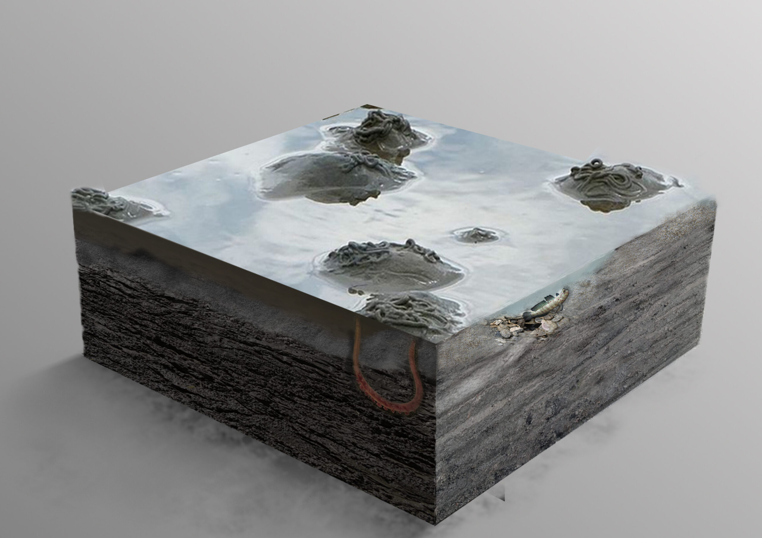
Originally a salt marsh, Mary Soo Hoo Park transformed through land reclamation, supporting a pier, train routes, and the elevated Central Artery, before becoming a public park atop the underground Interstate 93 tunnel post-Big Dig. The extraorthographic approach traces this transportation evolution, contrasting the site’s pre-colonial tidal ecosystem with its current urban form.
The ecological narrative highlights how the shift from salt marsh to urban landscape altered the site’s biodiversity. Historical species were displaced by development, while urban-adapted species now thrive, nesting in artificial structures and feeding on human refuse. This aligns with Burns’ “constructed site” concept, which recognizes the layered interplay of natural and human forces, from prehuman landforms to modern infrastructure, coexisting in “abrupt juxtapositions”.
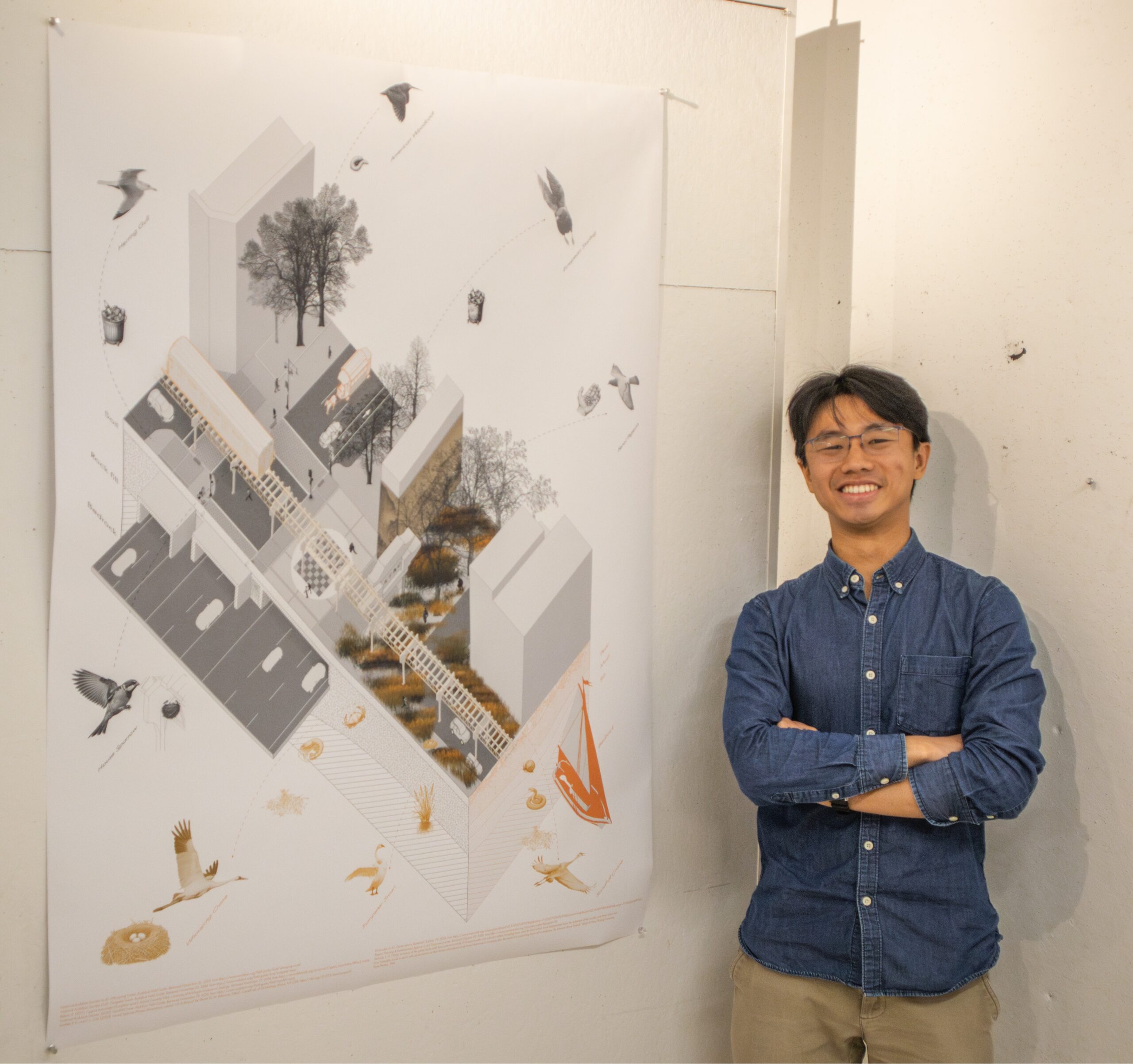
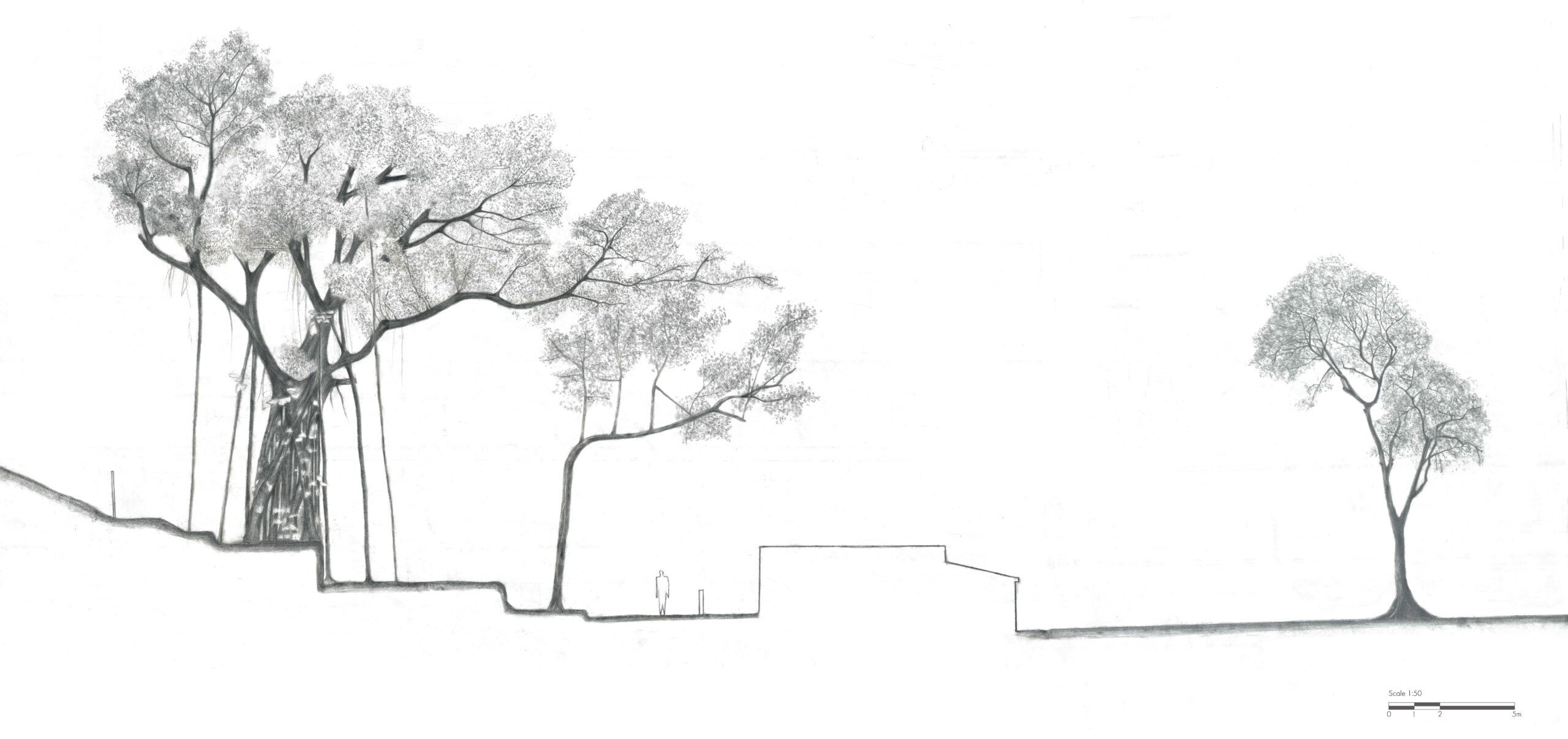
Visually, the project employs a composite spatio-temporal axonometric drawing, using distinct color palettes—orange for the past and black-and-white for the present—to differentiate temporal layers.